
CartographicÉpoque moderne· XVIe-XVIIe siècle
Map of the Twelve Tribes
Enrich the Great Book

Description
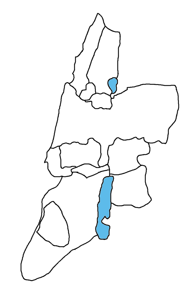
Map depicting the division of the Promised Land among the twelve tribes of Israel according to the Book of Joshua, often inserted into printed Bibles. It blends geography and scriptural reading.
Significance
It visually renders the biblical account of the conquest and division of the land of Canaan.
Features
- Provenance
- Europe
Other objects — Cartographic
Madaba Map
Madaba, Jordanie
Plan of Jerusalem and the Temple
Diaspora
Map of the Holy Land printed in Amsterdam
Amsterdam
Engraved plan of the Temple of Jerusalem
Europe
Pilgrimage itinerary to the tombs of the righteous
Terre d'Israël
Amsterdam-printed plan of the Temple courtyard (mishkan)
Pays-Bas (Amsterdam)